What I'm Watching Christmas Week
Some divergence in the models
Last Update: 12/24
First Up - Are we Getting a Christmas Swell?
The quick answer, is maybe. Over the past few days, the GFS model runs have started to get closer to Euro model runs, which is a positive thing. While this won’t be a great swell event for us (Look to the OBX for better surf), we should see some ENE swell as it wraps into our area. The main issue is Cape Cod blocking most of the swell from our region.
Here’s the MSLP anomaly plot showing the low pressure system in question:
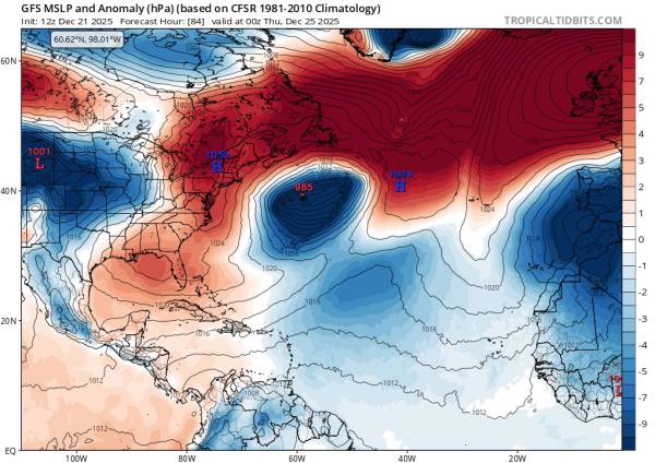
Courtesy of tropicaltidbits.com
That low pressure system directly east of us has a dome of high pressure over top of it, aiming winds back to it’s west and (primarily) southwest. That’s the GFS model run, which is a bit less favorable, but still has us receiving swell.
While I wouldn’t expect a strong swell event, it’s better than what previous runs have had in store. Again, this isn’t 100%, but the trend is positive. While it’s too soon to get into specifics, I would expect the swell to peak around mid-day on 12/25 and we should have light-moderate offshore winds thanks to an area of high pressure over the Florida panhandle.
The Gift That Keeps on Giving?
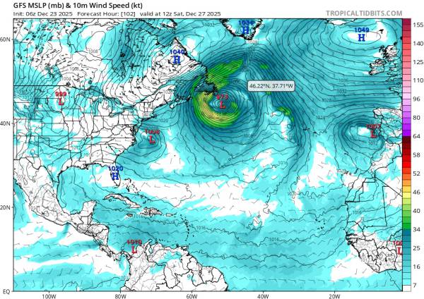
Wind is expected to stay onshore all day for 12/27. I’ll add an updated forecast chart once we get closer, but it looks like there will be some leftover swell 12/28 with ok winds.
We could also see another steep angled south swell for 12/29, but models runs have been inconsistent on that.
The Takeaway
We potentially have an active week of surf depending on how real world conditions shake out. GFS model runs are predicting more SSW swell events that may or may not offer surfable waves (weak if it occurs) whereas the ECMWF model has several instances of predictions that would lead to fun winter surf.