Monmouth County Surf Forecast
Last Update: 7/30/2026 13:30
Link to Free Surf Cams: Beach Cams
Summer Forecast Note
As we get into summer, this page will be updated less. I primarily mean for this page to track swells as they arrive and that’s not something that happens that much this time of year. As surfers, we all know that July-mid August is the slowest time of year for surf. The waves we do see tend to be more similar to trade swell than actual swell events. For this type of setup, wave heights are pretty unimportant and will be too affected by local bathymetry. In general, if the waves are under waist high, I won’t be attaching the tabular data associated.
I’ll still be updating this page with days that are worth a look, but I’ll go ahead and give the NOAA servers a rest until something of interest pops up.
Forecast for 7/30 - 8/05
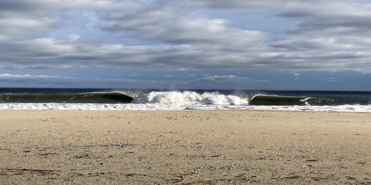
Hope y’all got a few on Wednesday. Definitely the best it has been in a while (nice that I could leave this here for a second week).
The rest of this week looks slow, with high pressure dominating our local weather pattern.
A low pressure system is expected to track east across the Ohio Valley (south of the Great Lakes) and interact with high pressure in the Central Atlantic on Monday, 8/03. This could lead to a well directed wind swell for Monday-Wednesday. Currently, the timing on this is still tough to call. It’s possible we won’t see a wind switch with this setup as high pressure blocks the low from exiting the coast. This would mean sustained south winds. If this is the case, it’s going to be about finding the windows of lighter wind and favor spots with south wind protection.
Friday 7/31
| Time | Wave Direction | Swell Height | Period | Energy Percentile | Wind Direction | Wind Speed | Water Level |
|---|---|---|---|---|---|---|---|
| 06:00 | 172.2 | 2.6 | 7.7 | 18 | WNW | 5 | -0.2 |
| 08:00 | 175 | 2.5 | 7.8 | 16.1 | WNW | 5 | 1.3 |
| 10:00 | 175 | 2.4 | 8 | 17 | WNW | 3.4 | 1.3 |
| 12:00 | 175 | 2.3 | 8.2 | 17 | S | 2.9 | -0.4 |
| 14:00 | 175 | 2.3 | 8.2 | 16.1 | S | 4.4 | -1.8 |
| 16:00 | 175 | 2.2 | 8.2 | 15 | S | 7 | -1.8 |
| 18:00 | 172.4 | 2.2 | 8.1 | 14.8 | SSW | 8.2 | 0.2 |
| Time | Tide | Height (ft) |
|---|---|---|
| 03:04 | L | 0.15 |
| 09:07 | H | 4.41 |
| 15:08 | L | 0.63 |
| 21:13 | H | 5.04 |
Got this one wrong. Really fun out there this morning and should be decent as the tide drops. Wind is light enough for decent conditions.
Notes: Way better than expected!
Saturday 8/01
| Time | Wave Direction | Swell Height | Period | Energy Percentile | Wind Direction | Wind Speed | Water Level |
|---|---|---|---|---|---|---|---|
| 06:00 | 174.9 | 2.6 | 8.5 | 23.4 | SW | 7.5 | -0.9 |
| 08:00 | 174.9 | 2.4 | 8.1 | 17.7 | SW | 3 | 0.8 |
| 10:00 | 174.9 | 2.3 | 8 | 14.4 | S | 3.9 | 1.6 |
| 12:00 | 175 | 2.2 | 7.8 | 12.2 | S | 6.4 | 0.1 |
| 14:00 | 175 | 2.2 | 7.7 | 11.3 | S | 9.8 | -1.5 |
| 16:00 | 175 | 2.3 | 7.5 | 12.2 | S | 10.9 | -2.1 |
| 18:00 | 175 | 2.5 | 7.5 | 13.2 | S | 11 | -0.7 |
| Time | Tide | Height (ft) |
|---|---|---|
| 03:38 | L | 0.12 |
| 09:43 | H | 4.5 |
| 15:46 | L | 0.63 |
| 21:50 | H | 4.91 |
Light side-offshore wind early with very small waves.
Best board: Longboard
Sunday 8/02
Sidshore wind all day with little to no waves. Generally bad conditions.
Monday 8/03 - Wednesday 8/05
Our next south swell is expected in this time range. There will definitely be waves, but the wind is going to take some time to call accurately. Expect Monday to be blown out and watch Tuesday/Wednesday for surfable waves.
Buoy numbers should be in the 3-5ft at 7 second range on Tuesday with smaller waves expected Wednesday. The early AM low tides will be convenient for the early morning sessions. Very possible we don’t see any offshore wind with this setup.
Tropics
Tropical storm development is still expected to be unlikely for the next three weeks based on NWS Climate Prediction Center 7/28 update.
All data sourced from NOAA NWPS and GFS Wave
Current list of Surf Hazards Surf Hazards
Why Energy Percentile? Energy Article
Helpful Links
Buoys
NOAA New York Harbor Entrance Buoy